 |
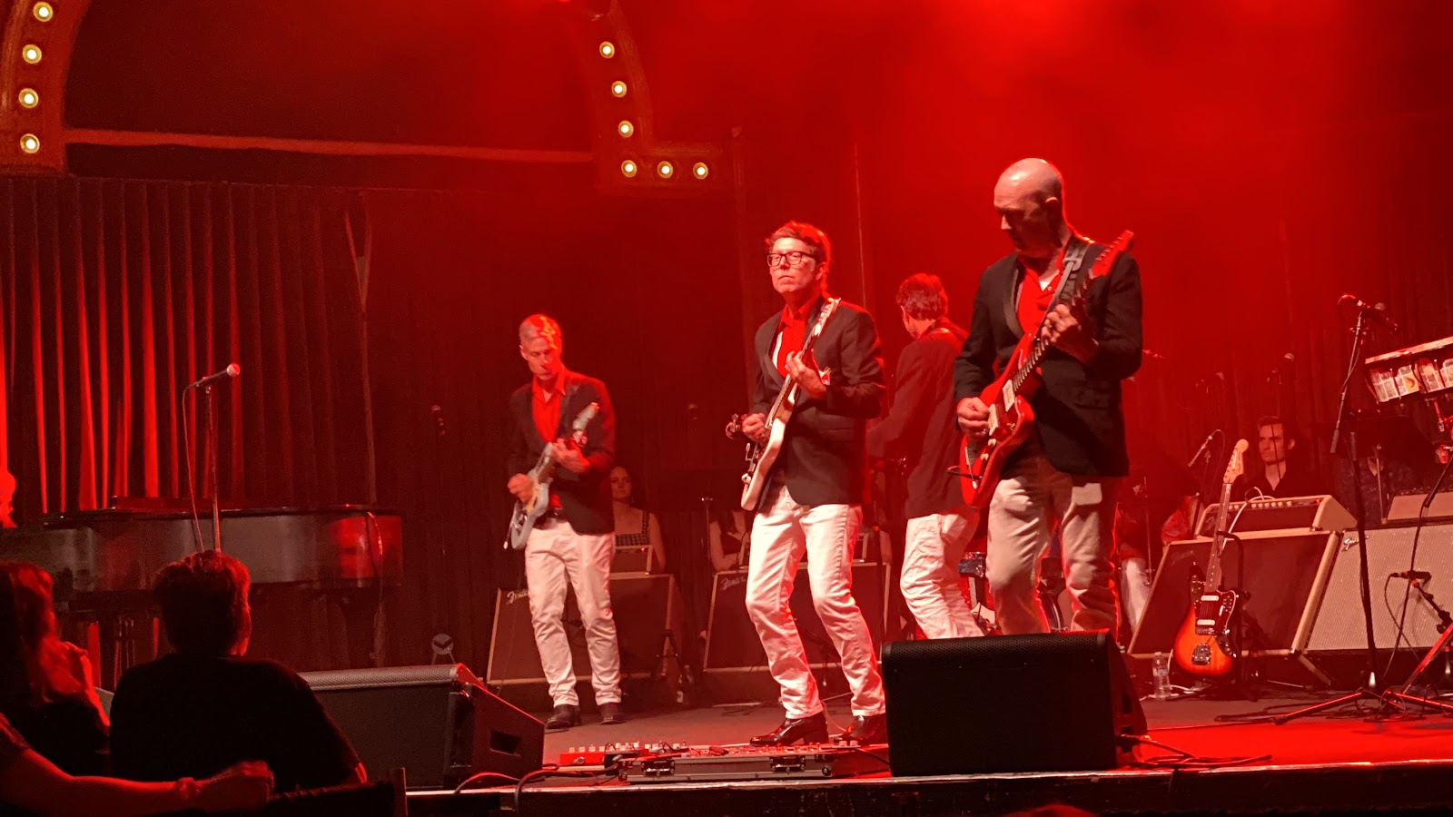
| Satan's Pilgrims in a full throttle interpretation of George Gershwin's Rhapsody In Blue; That's our number one and only son Garrett Immel in the middle. He's playing lead on this number. Every Pilgrim guitarist is a bona fide lead guitar player. So is the bass player for that matter. |
We spent four nights in Portland so we could attend a concert featuring Thomas Lauderdale, the leader of the orchestra Pink Martini, with Satin’s Pilgrims. The surf-rock band was started by four young Portland musicians in 1992. It was inducted into the Oregon Rock and Roll Hal of Fame in 2022. Before joining the Pilgrims our son Garrett has played lead guitar in surf bands for more than 20 years including many years as the lead guitar player of The Ghastly Ones in Los Angeles.
Unhappily, Dave Busacker one of the three guitar players in
Satan’s Pilgrims died two years ago. Having crossed paths with Garrett on the
surf-rock circuit through the years, the Pilgrims asked him to step into Dave’s
shoes. He was excited to accept the offer and I’ve never seen him so
happy. Three of the members live in Portland. Ted, the drummer, currently lives
in Memphis but is moving back to Portland, and Garrett commutes from Los
Angeles. He loves the
band and calls the Pilgrims the best contemporary surf band in the country.
 |
| Garrett, Michelle and Peggy at he foot of Multnomah Falls |


To tell the full story of Satan’s Pilgrims properly deserves more time and care than I can give this weekend so here’s a glimpse at frothy, spraying Multnomah Falls aside the Columbia River 20 miles east of Portland. Our tour guide for the best of Portland and environs was the pride of my life Garrett Immel.
Portland's a beautiful city of vibrant self-contained
neighborhoods where everything is a short walk away. It’s green, lush, and cared
for. And it’s young, energetic, a tonic for these old bones..